Many of you might be wondering about the types of maps that I use for my map jewellery. I use paper maps, and a large portion of them were printed between 1900 and 1980. The oldest map I have is a copy of Bacon's Pocket Atlas of the World, from 1913 and it is a very pretty pastel coloured (very out of date) delight. I also have some rather lovely British motoring maps from the 1930s published by Newnes.


The maps that I use most commonly though range from around the 1950s-1970s. These are the Reader's Digest Atlases of the World and also Britain. They were a popular mail order purchase back in the day, and they turn up now and again secondhand. They are beautifully designed, and they use an attractive muted palette of earth tones, as you'd expect, with a mix of greens, blues, reds and yellows, but with the addition of some surpringly intense teal blues and pale greens for oceans and landmasses. They also contain some fabulous diagrams explaining things like volcanoes. I use these mostly for major cities and towns around the world, like Paris, Florence, Hong Kong and New York.
For smaller and more obscure UK places I also use Ordnance Survey paper maps and I have, at a rough guess, a couple of hundred of these. They range from around the 1950s onwards, right up to modern times, and they contain a huge amount of detail. I alo rely on Johnstone and Bacon's Road Atlas of Great Britain pub 1940 as this contains a surprising amount of hamlets and villages that I can't find elsewhere.
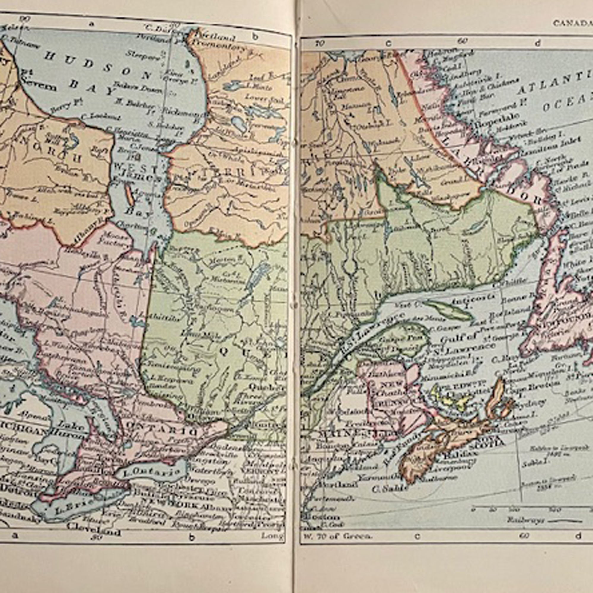
Worldwide, I have a wide range of maps of varying ages. For small and obscure locations in the US, Canada and Mexico I rely on a set of Rand McNally maps and motoring guides, which date from the 1960s -2020s. The newer ones name many new towns and suburbs, and because the Rand McNally maps tend share a visual language, often I can match a newer map with an older one and still have it look good.
I'm always on the look out for atlases, because they are probably the single most useful resource I have, and I'm lucky enough to have found quite a few secondhand Times Atlases of the World. These are huge things, on a large scale and were expensive when brand new. However, people don't have very much use for outdated atlases.
Times changes, countries change, names lost to colonialism are reinstated, for example, and I do get those requests. In those cases, it can be tricky and I often resort to newer more up to date maps, sometimes even brand new. It's not the age of the map that's important in those cases, but that the correctly spelled name just exists on the map at all. That's a great thing to be able to provide for someone!
If you're interested in taking a closer look, I sell offcuts and spare pieces and pages of maps here
0 comments